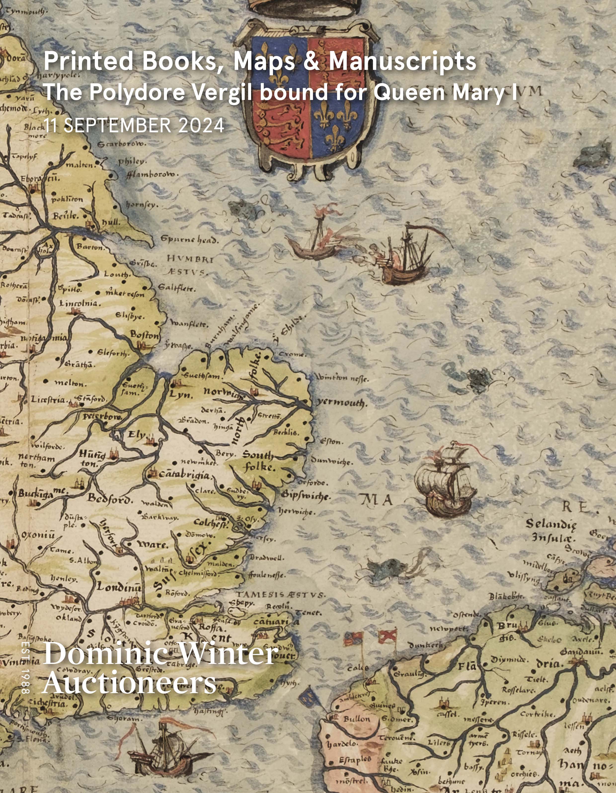
Early Printed Books, Maps & Manuscripts • Queen Mary I Binding
Date: 11th Sep, 2024 10:00
Catalogue: Download PDF catalogue
Results: Download PDF results
Lots: 491
SOLD
Lot 168 - Lancashire. Hennet (G.). A Map of the County Palatine of Lancaster, 1830
Estimated at £200 - £300


![Lot 149 - Devon. Blaeu (Johannes). Devonia vulgo Devonshire. [Amsterdam] circa 1646](https://dominicwinter.blob.core.windows.net/stock/709699-0-small.jpg?v=63860542079393)


![Lot 152 - Europe. Hondius, Europa Exactissime Descripta..., 1641-[1658]](https://dominicwinter.blob.core.windows.net/stock/709826-0-small.jpg?v=63860542086533)


![Lot 159 - Indian Mutiny. Camp near Cawnpore [and] The Capture of Lucknow by Sir Colin Campbell, 1857](https://dominicwinter.blob.core.windows.net/stock/709240-0-small.jpg?v=63860542096547)

![Lot 161 - Ireland. [Scalé (Bernard)], published by Robert Sayre & John Bennet, 1s Feb 1776](https://dominicwinter.blob.core.windows.net/stock/709357-0-small.jpg?v=63860542098190)
![Lot 162 - Ireland. A General Map of Ireland..., 1st edition, Dublin & London [1839]](https://dominicwinter.blob.core.windows.net/stock/709189-0-small.jpg?v=63860542099820)


![Lot 166 - Italy. Ortelius (Abraham), Thusciae Descriptio Auctore Hieronymo Bellarmato, [1575]](https://dominicwinter.blob.core.windows.net/stock/709673-0-small.jpg?v=63860542129827)
![Lot 167 - Kent. Harris (John), A Map of the County of Kent [1719]](https://dominicwinter.blob.core.windows.net/stock/709765-0-small.jpg?v=63860542119550)
