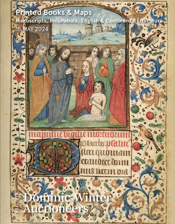
To see a page-turning version of our catalogue, please see the Virtual Catalogue.
Please enter your email address below, we will send you a notification email when the sale is available to view online.
Your browser seems to have JavaScript disabled - please allow JavaScript in order to view lots on this page.
Lot 121 - * China. Ortelius (Abraham), Chinae olim Sinarum regionis nova descriptio..., Antwerp [1592 or later]]
Sold for £1,700
Lot 122 - Cooke (C.). Topographical and Statistical Description of the County of..., 18 volumes, circa 1830
Sold for £140
Lot 123 - Cornwall. Kip (William), Cornwall olim pars Danmoniorum [1610]
Sold for £130
Lot 124 - D'Anville (Jean Baptiste) Atlas with 30 engraved maps, circa 1714-64
Sold for £2,500
Lot 125 - Derbyshire. Speed (John), Anno Darbieshire described, J. Sudbury & George Humble, circa 1627
Estimated at £200 - £300
Lot 126 - Devon. Bickham (G.), A Map of Devon - Shire West from London..., 1750
Sold for £190
Lot 127 - Devon. Bowen (Emanuel), An Accurate Map of Devon Shire..., 1762
Sold for £360
Lot 128 - Devon. Greenwood (C. & J.), Map of the County of Devon from an Actual Survey..., 1827
Sold for £950
Lot 129 - Devon. Saxton (Christopher & Kip Wlliam). Devoniae Comitatus..., circa 1637
Sold for £240
Lot 130 - * East Indies. Jansson (Jan), Indiae Orientalis Nova Descriptio, [1635 or later]
Sold for £520
Lot 131 - England & Europe. A collection of approximately 80 maps, mostly 19th & 20th-century
Sold for £260
Lot 132 - England and Wales. Geological Map of England & Wales. London: Dobbs & Co., [1843]
Sold for £650
Lot 133 - England and Wales. Merry (Tom), Map of England, A Modern St. George and the Dragon!!!, 1888
Sold for £120
Lot 134 - Europe. Bohn (F.), Europa Volgens de Nieuwste Verdeeling, Haarlem, circa 1794
Sold for £300
Lot 135 - Europe. Grossi (Augusto), La Piovra Russa, published Papagallo - Le Perroquet Magazine, 1878
Sold for £560
Lot 136 - Folding maps. A collection of 10 folding maps of towns/ boundaries in England, mostly 19th-century
Sold for £170
Lot 137 - Folding maps. A collection of 6 folding maps of foreign parts, mostly 19th-century
Sold for £600
Lot 138 - Foreign Maps. A collection of approximately 70 maps, mostly 19th & 20th-century
Lot 139 - Fullarton (A. Publisher). The Parliamentary Gazetteer of England and Wales, 4 volumes, 1845
Estimated at £150 - £200
Lot 140 - Greenville Collins (Captain). Great Britain's Coasting Pilot..., J. & W. Mount & T. Page, 1779
Estimated at £1,500 - £2,000
Lot 141 - * Hampshire. Speed (John), Hantshire described and devided, Thomas Bassett & Richard Chiswell, 1676
Sold for £380
Lot 142 - Hoffman (George Spenser). 3 folding pictorial maps circa. 1925
Sold for £180
Lot 143 - * Homann (J. B.). Planoglobii Terrestris cum Utroq Hemisphaerio Caelesti..., circa 1715
Sold for £800
Lot 144 - India. Ghose (R. S.), Sketch map of River Hooghly from Hooghly to Ulabaria..., 1920
Sold for £280