To see a page-turning version of our catalogue, please see the Virtual Catalogue.
Please enter your email address below, we will send you a notification email when the sale is available to view online.
Your browser seems to have JavaScript disabled - please allow JavaScript in order to view lots on this page.
Lot 100 - Finley (Anthony). A New General Atlas, Comprising a Complete Set of Maps..., 1828
Sold for £1,000
Lot 101 - Folding Maps. A collection of approximately 45 maps, mostly 19th century
Sold for £200
Lot 102 - Foreign Maps. A collection of approximately 200 Foreign maps, mostly 19th century
Sold for £70
Lot 103 - Greenwood (C. & J.). Eleven County Maps, circa 1829
Sold for £500
Lot 104 - Hungary. Speed (John), The Mape of Hungari, Thomas Bassett & Richard Chiswell, 1676
Sold for £560
Lot 105 - Ireland & Scotland. A collection of 36 maps, mostly 18th & 19th century
Sold for £380
Lot 106 - * Ireland. Ortelius (Abraham), Eryn. Hiberniae Britannicae Insulae nova descriptio
Sold for £750
Lot 107 - Ireland. Speed (John), The Countie of Leinster..., 1st edition, J. Sudbury & G. Humble [1611]
Sold for £340
Lot 108 - Ireland. Speed (John), The Kingdome of Irland..., 1st edition [1611]
Sold for £1,150
Lot 109 - Jamaica. Speed (John), A Map of Jamaica [on sheet with] Barbados, 1676
Sold for £260
Lot 110 - Jansson (Jan). Tabula Itineraria ex illustri Peutingerorum Bibliotheca..., Amsterdam
Lot 111 - * Lee (Kerry). Cambridge, " This immense & glorious work...," Pictorial Maps Ltd, circa 1946
Sold for £190
Lot 112 - Liverpool. Rapkin (J.), Liverpool, John Tallis & Company, circa 1850
Lot 113 - London & its Environs. A collection of 28 maps of London, late 19th and early 20th century
Sold for £400
Lot 114 - London. Bacon (G. W.), Bacon's New Map of London, circa 1875
Lot 115 - London. Wyld (James), Wyld's New Plan of London for 1851
Sold for £440
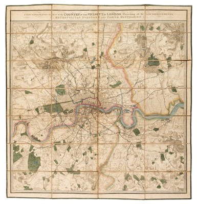
Lot 116 - London. Wyld (James). A New Topographical Map of the Country in the Vicinity of London..., 1843
Lot 117 - Low Countries. Speed (John), A New Mape of ye XVII Provinces of Low Germanie..., 1676
Sold for £320
Lot 118 - Manuscript Maps. Thompson (Henry), Palestine, circa 1850
Sold for £120
Lot 119 - Maps. A collection of approximately 725 maps, 19th & early 20th century
Sold for £150
Lot 120 - Maps. A collection of British County and overseas maps, 17th - 19th century
Sold for £240
Lot 121 - Michelot (H. & Bremond L.). Recueil de Plusieurs Plans des Ports.., de la Mediterranee, circa 1730
Lot 122 - Morris (John). Section of the Earth's Crust showing the Arrangement of the Strata..., circa 1850
Sold for £1,500
Lot 123 - * Norfolk. Speed (John), Norfolk, a Countie Florishing & Populous Described..., 1627