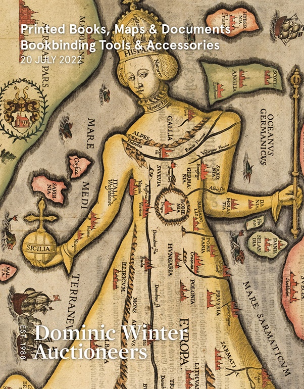
To see a page-turning version of our catalogue, please see the Virtual Catalogue.
Please enter your email address below, we will send you a notification email when the sale is available to view online.
Your browser seems to have JavaScript disabled - please allow JavaScript in order to view lots on this page.
Lot 97 - * Betts (John). Betts’s Tour Through England & Wales, [and Tour through Europe), circa 1875 [and 1850]
Sold for £150
Lot 98 - Blaeu (Joannes). Four county maps, Amsterdam, circa 1645
Sold for £240
Lot 99 - Blaeu (Johannes). Glocestria Ducatus vulgo Glocestershire, Amsterdam, circa 1648
Sold for £260
Lot 100 - British County Maps. A collection of 80 maps, 16th - 19th century
Sold for £480
Lot 101 - British County Maps. A collection of approximately 100 maps, 17th - 19th century
Sold for £520
Lot 102 - British Isles. Boisseau (Jean), Carte Generalle de la Grand Bretagne...., Paris, 1644
Sold for £170
Lot 103 - British Isles. Danckerts (Justus). Novissima et Accuratissima Totius Angliae Scotiae..., 1690
Sold for £220
Lot 104 - British Isles. Doncker (Hendrick), Pas-caart van 't Canaal..., 1658
Sold for £360
Lot 105 - * British Isles. Jansson (Jan & Hondius Henricus), Magnae Britanniae et Hiberniae Tabula, 1631
Sold for £340
Lot 106 - British Isles. Jansson (Jan & Ortelius Abraham), Insularum Britannicarum..., circa 1646
Estimated at £200 - £300
Lot 107 - British Isles. Lotter (Tobias Conrad), La Grande Bretagne..., circa 1764
Sold for £200
Lot 108 - British Isles. Seutter (Matthaus), Tabula Novissima Accuratissima Regnorum Angliae..., 1736
Lot 109 - British Isles. Van Keulen (Johannes), Paskaart van 't Canaal Engelandt Schotlandt en Yrland, 1708
Lot 110 - British Isles. Waldseemuller (Martin), Untitled map of the British Isles, Lyons, 1535
Sold for £450
Lot 111 - British Isles. Well (Edward), A New Map of the British Isles..., circa 1700
Sold for £130
Lot 112 - Buckinghamshire. Speed (John), Buckingham Both Shyre and Shire Towne describ. 1662
Sold for £190
Lot 113 - Cambridge & Huntingdonshire. A collection of 20 maps, 17th - 19th century
Sold for £160
Lot 114 - Canterbury. Andrews (J. & Wren M.), A Plan of the City of Canterbury Survey'd, 1768
Lot 115 - Canterbury. Braun (Georg & Hogenberg Franz), Cantuarbury, Jan Jansson circa 1657
Lot 116 - Canterbury. Hollar (Wenceslaus), The North Prospect of Canterbury, circa 1710
Lot 117 - Cardiganshire. Speed (John), Cardigan Shire Described with the due forme of the Shiretown, 1662
Sold for £120
Lot 118 - Celestial Chart. Homann (J. B.), Hemisphaerium Coeli Australe, Nuremberg, circa 1730
Lot 119 - Channel Islands. Von Reilly (F. J. J.), Die Insel Jersey & Die Englaendischen Inselin..., circa 1799
Sold for £80
Lot 120 - Cornwall. Speed (John), Cornwall, John Sudbury & George Humble, circa 1627
Sold for £1,150