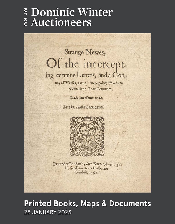
To see a page-turning version of our catalogue, please see the Virtual Catalogue.
Please enter your email address below, we will send you a notification email when the sale is available to view online.
Your browser seems to have JavaScript disabled - please allow JavaScript in order to view lots on this page.
Lot 121 - Low Countries. Speed (John), A New Mape of ye XVII Provinces of Low Germanie..., 1676
Sold for £320
Lot 122 - Mackenzie (Murdoch). The South Coast of Cardigan Bay..., & The North Part of Cardigan Bay..., 1775
Estimated at £100 - £200
Lot 123 - Maps. A collection of approximately 70 maps, 17th - 19th century
Sold for £950
Lot 124 - Maps. Murray (T. L.), A collection of fourteen county maps, 1832
Sold for £180
Lot 125 - Monmouth. Speed (John), The Countye of Monmouth..., John Sudbury & George Humble, 1627
Sold for £120
Lot 126 - Moule (Thomas). A collection of 55 county maps, circa 1845
Sold for £100
Lot 127 - New York State. De Witt (Simeon), A Map of the State of New York..., 1804
Sold for £850
Lot 128 - North Africa. Blaeu (Willem Janszoon), Fezzae et Marocchi Regna Africae Celeberrima..., 1640
Sold for £150
Lot 129 - North America & Canada. A collection of approximately 50 maps, mostly 18th & 19th century
Sold for £400
Lot 130 - North America & Canada. Dezauche (J. A.), Carte du Canada..., Paris, 1783
Sold for £240
Lot 131 - North America. Le Rouge (George L.), Amerique Septentrionale suivant la Carte Pople..., 1742
Sold for £650
Lot 132 - Ogilby (John). A collection of 15 road maps, 1676 [or later]
Sold for £420
Lot 133 - Ogilby (John). The Road from Oxford to Cambridge [1676 or later]
Sold for £220
Lot 134 - Ordnance Survey (Publisher). Farnham Parish, 25 inches to a mile, 1871
Lot 135 - Ottoman Empire. De Wit (Frederick), Turcicum Imperium sive Magni Turcarum..., circa 1700
Lot 136 - Pigot & Co.(publishers). Maps of the Counties..., 1828..., and others
Sold for £130
Lot 137 - Poland. A collection of 14 plans of Fortified Towns and Cities, 17th & 18th century
Sold for £360
Lot 138 - Poland. A collection of 20 maps and plans of Polish cities 16th - 19th century
Sold for £800
Lot 139 - Poland. A collection of 20 maps of Polish towns and cities, mostly 17th & 18th century
Sold for £380
Lot 140 - Poland. A collection of 30 Polish town and city plans, 16th - 19th century
Sold for £1,300
Lot 141 - Poland. Sanson (Nicolas), Basse ou Grande Pologne..., Paris, 1665 [but 1703]
Lot 142 - Pomerania. Visscher (Nicholas)...,La Duche de Pomeranie et Mecklenbourg..., P. Schenk, circa 1750
Sold for £160
Lot 143 - * River Danube. Blaeu (Willem Janszoon), Danubius, Fluvius Europae Maximus..., circa 1635
Sold for £200
Lot 144 - Schedel (Hartman). Anglie Provincia, 1493
Sold for £190