To see a page-turning version of our catalogue, please see the Virtual Catalogue.
Please enter your email address below, we will send you a notification email when the sale is available to view online.
Your browser seems to have JavaScript disabled - please allow JavaScript in order to view lots on this page.
Lot 145 - Foreign Maps. A collection of 23 maps, mostly 19th century
Sold for £260
Lot 146 - France. A collection of 25 maps, mostly 17th & 18th century
Sold for £150
Lot 147 - * France. De Jode (Gerard), Galliae Amplissimi Regni Tabula [1593]
Sold for £240
Lot 148 - * France. Ortelius (Abraham), Galliae Regni Potentiss. Nova Descriptio..., 1570 or later
Sold for £120
Lot 149 - Germany. A collection of 16 maps, mostly 17th & 18th century
Lot 150 - * Glamorgan. Speed (John), Glamorgan Shyre, with the situations of the Cheife Towne Cardyff, 1662
Lot 151 - Globe...., Bett's New Portable Terrestrial Globe..., circa 1900
Sold for £70
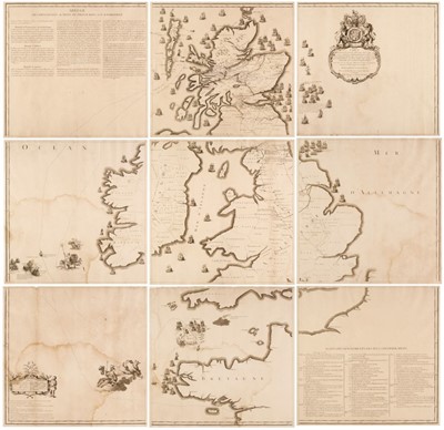
Lot 152 - Grante (J. A.). Carte ou sont tracees les differences routes..., Charles Edward Prince de Galles...
Sold for £4,400
Lot 153 - Hertfordshire. Speed (John), Hartford Shire Described..., 1st edition [1611]
Sold for £280
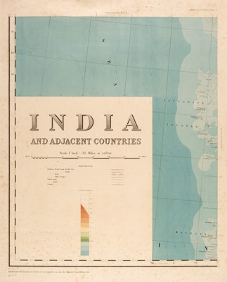
Lot 154 - India. Burrard (Colonel Sir S. G. publisher). India and Adjacent Countries, 1915 but 1922 re-issue
Sold for £190
Lot 155 - Ireland. Speed (John), The Kingdome of Ireland..., William Humble, 1651
Sold for £660
Lot 156 - Ireland. Speed (John), The Province of Mounster, Thomas Bassett & Richard Chiswell [1676]
Sold for £460
Lot 157 - Ireland. Speed (John), The Province of Ulster, Thomas Bassett & Richard Chiswell [1676]
Lot 158 - Le Sage (Emmanuel, Comte de Las Cases). Historical, Genealogical...., Geographical Atlas..., 1813
Lot 159 - * Lincolnshire. Blaeu (Johannes), Lincolnia Comitatus Anglis Lincoln-Shire, Amsterdam, circa 1645
Sold for £80
Lot 160 - * London and Westminster in the Reign of Queen Elizabeth Anno Dom. 1563, published J.Wallis, 1789
Sold for £200
Lot 161 - London. Cassell, Petter & Galpin (publishers), Civitas Londinum..., 1878
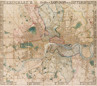
Lot 162 - London. Cruchley (G. F.). Cruchley's New Plan of London and its Environs, 1847
Lot 163 - London. Lee (Kerry), London. The Bastion of Liberty, circa 1951
Sold for £140
Lot 164 - London. Walker (J. & C.), A Plan of London and its Environs, circa 1845
Lot 165 - London. Wyld (James), Wyld's new Plan of London and its Vicinity, circa 1880
Sold for £300
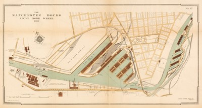
Lot 166 - Manchester Ship Canal. A collection of 18 maps and plans, circa 1893
Lot 167 - Map Reference. A collection of approximately 95 reference books and facsimile atlases, 20th century
Lot 168 - Maps. A collection of approximately 100 British maps, 17th - 19th century
Sold for £500