Please enter your email address below, we will send you a notification email when the sale is available to view online.
Your browser seems to have JavaScript disabled - please allow JavaScript in order to view lots on this page.
Lot 265 - * British Isles. Munster (Sebastien), Engellandt mit dem Anstossenden..., 1588 or later
Sold for £200
Lot 266 - British maps. A mixed collection of 39 maps, 17th - 19th century
Sold for £260
Lot 267 - * Caernarvonshire. Speed (John), Caernarvon both Shyre and Shire-Towne..., 1676
Sold for £90
Lot 268 - Cambridge, Bedford & Huntingdonshire. Drayton (Michael). Two allegorical maps, 1622
Sold for £300
Lot 269 - Camden (William). Britannia: or a Chorographical Description of Great Britain.., circa 1730
Sold for £180
Lot 270 - Channel Islands. Blaeu (J.), Sarnia Insula vulgo Guernsey et Insula Caesarea..., 1648
Sold for £130
Lot 271 - Cumberland & Westmorland. Drayton (Michael), Untitled allegorical map, 1622
Lot 272 - Derbyshire. Blaeu (Johannes), Darbiensis Comitatus vernacule Darbie Shire, Amsterdam, 1646
Lot 273 - Derbyshire. Speed (John), Anno Darbieshire described, J. Sudbury & G. Humble, 1616
Sold for £240
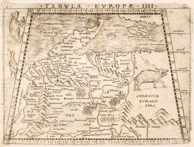
Lot 274 - Eastern Europe. A collection of eight maps, 16th century
Sold for £1,400
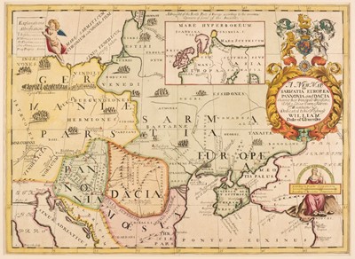
Lot 275 - * Eastern Europe. Wells (Edward), A New Map of Present Poland, Hungary..., circa 1700
Sold for £800
Lot 276 - * England & Wales. Speed (John), The Kingdome of England, [1676]
Sold for £280
Lot 277 - England & Wales. Cary (John), Cary's New Map of England and Wales..., 1794
Estimated at £100 - £150
Lot 278 - England & Wales. Geological Map of England and Wales (with all the Railways), 1864
Sold for £340
Lot 279 - England & Wales. Homann (J. B.), Magnae Britanniae pars Meridionalis..., circa 1720
Lot 280 - England & Wales. Jansson (Jan), Anglia Regnum, Amsterdam, circa 1648
Lot 281 - Europe. A collection of 21 maps, 17th - 19th century
Sold for £580
Lot 282 - * Europe. Schedel (Hartmann) Untitled map of Northern & Central Europe [1493]
Sold for £1,600
Lot 283 - Foreign Maps. A mixed collection of approximately 160 maps, 18th & 19th century
Sold for £380
Lot 284 - France. A collection of 19 maps, 17th - 19th century
Sold for £120
Lot 285 - France. Jaillot (Hubert), A collection of 15 regional maps, Paris, circa 1700
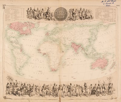
Lot 286 - Fullarton (A. & Co. publisher). The Royal Illustrated Atlas of Modern Geography, circa 1862
Sold for £650
Lot 287 - Germany. A collection of 17 maps, 16th - 18th century
Lot 288 - Glasgow. Richmond (George, publisher), New Map round Glasgow..., 1884
Sold for £100